Photo @AKyriazis
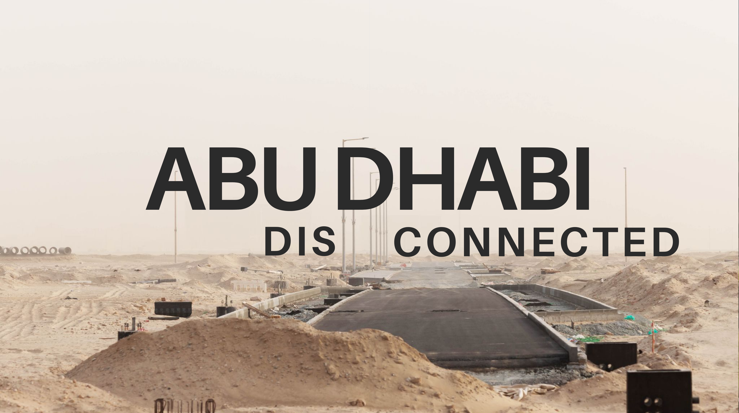
Abu Dhabi is a city with rapid growth, highly dependent on car infrastructure. People navigate through the bustling central business district and out into the seemingly empty suburbs. Mega highways connect these areas, at the same time creating barriers for those who try to navigate the city on foot or via limited public transport.
The constant construction builds new pathways between areas of the city. However, they are not always connecting neighbourhoods that are close by. Additional challenges are brought on by the climate conditions of heat, dust and coastal development. In response, the city transforms as the sun sets and people gather in open areas.
This exhibition features a series of images to understand the spatial and lived realities of navigating a city that is disconnected. Photographs, videos and maps are visual components of a collaboration between the London School of Economics and the Department of Architecture and Design, Abu Dhabi University. The research findings show that despite these challenges, residents are adaptable and they reclaim public spaces within the streets of the city.
This exhibition explores Abu Dhabi in recent times and through historical strategies of planning. Seeing the city from different points of view reveals the challenges faced by residents. Working with students and research helps to imagine new ways to develop in the future.